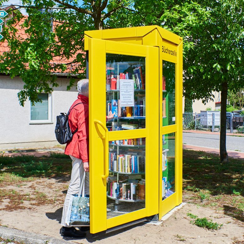
Our neighbourhoods presented
The Amt Rüdersdorf was initially formed in 1992 from the municipalities of Rüdersdorf, Herzfelde, Hennickendorf and Lichtenow, which was dissolved as a result of the municipal area reform in 20003. In this year, the municipality of Rüdersdorf bei Berlin was created from the merger of the member municipalities of the former Rüdersdorf office. To this day, the districts attach great importance to their independence. For this reason, it is important to grow together without giving up the independence of the districts.

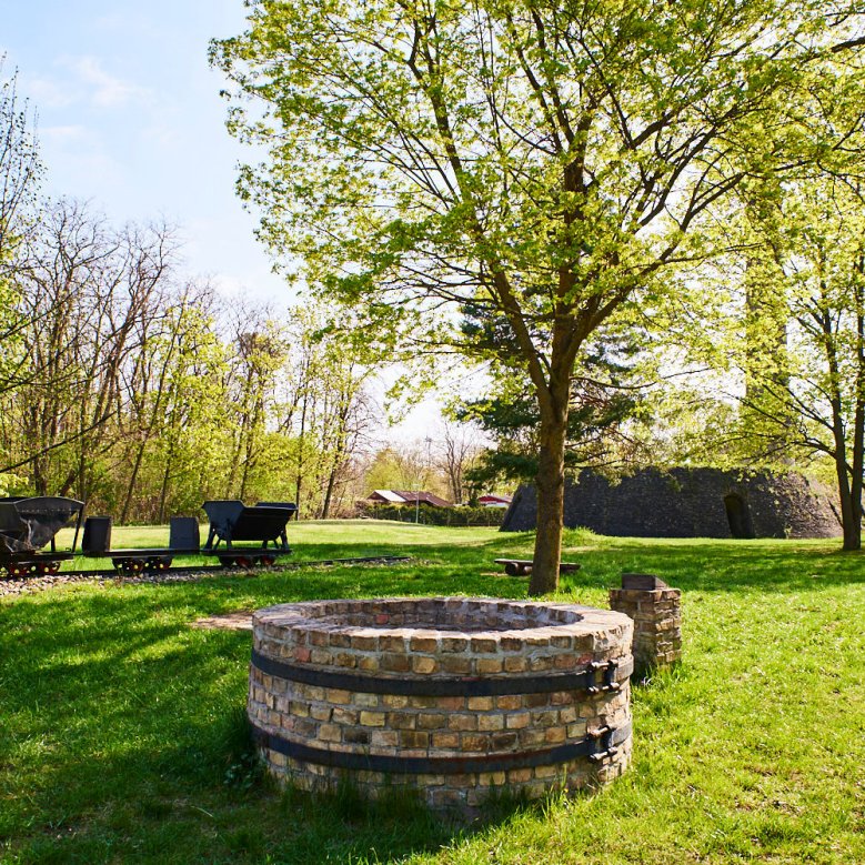
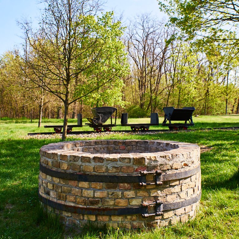
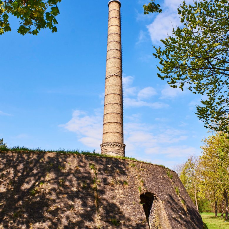
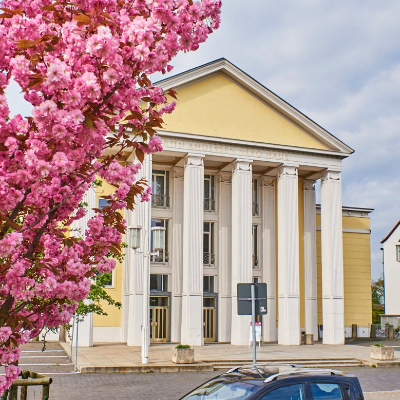
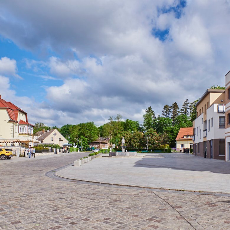
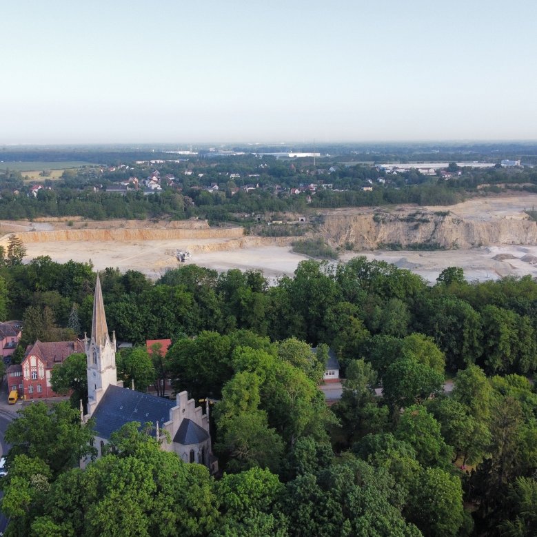
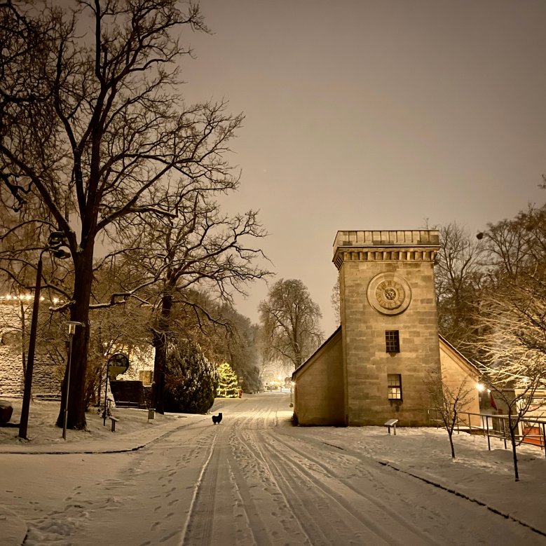
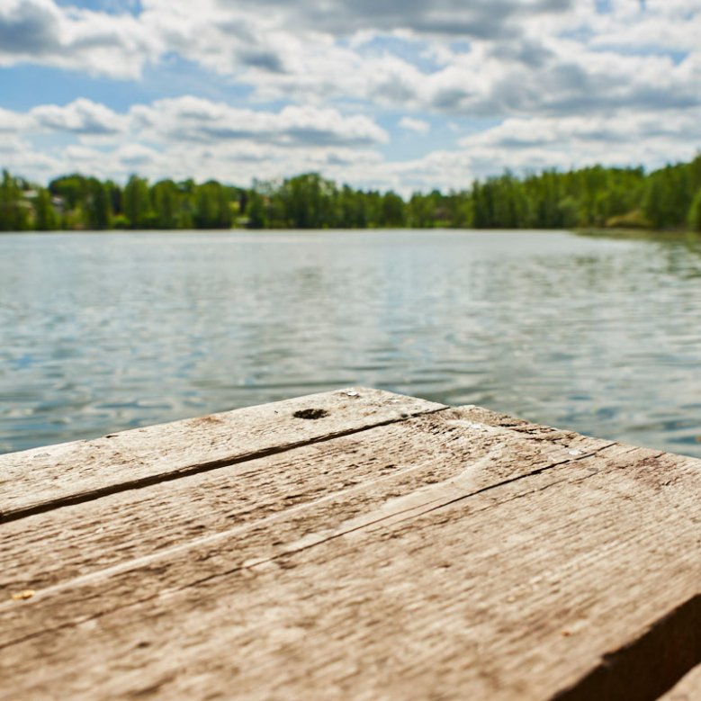
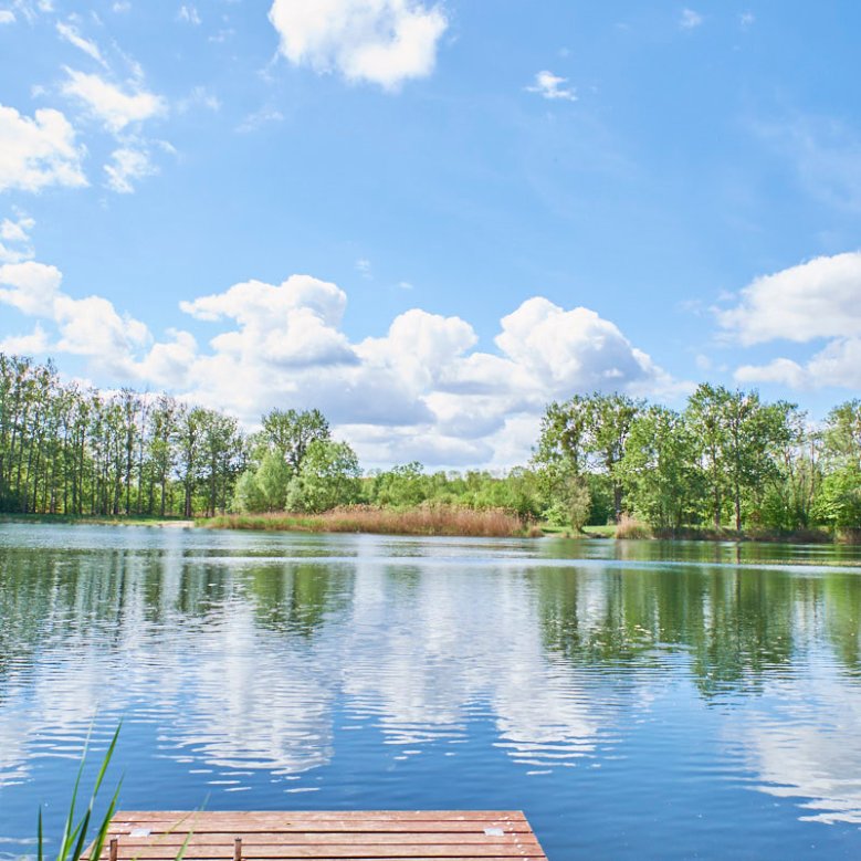
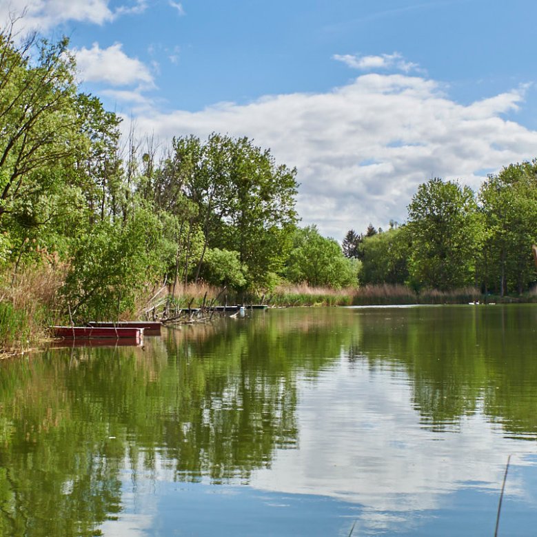
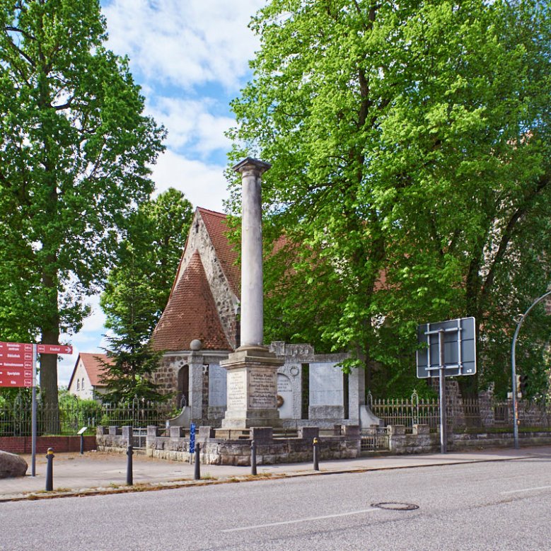
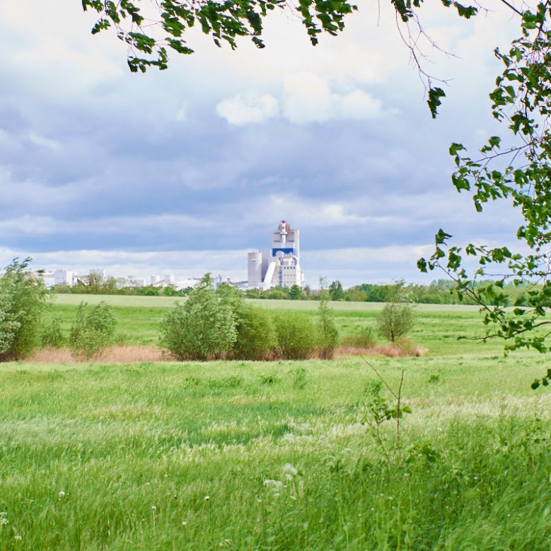
The district of Rüdersdorf, located in the south-eastern part of the municipality directly on the edge of the open-cast mine, is the most populous and largest of the four districts. Rüdersdorf (Roderstorp) was first mentioned in documents between 1308 and 1319. A special geological feature of the region are the lime deposits in Rüdersdorf, which are found directly on the surface and have been used for lime extraction in open-cast mining since the Middle Ages. To this day, the extraction and processing of limestone deposits characterise the town. Rüdersdorf was discovered by silent film in 1908. Numerous film companies used the Rüdersdorf limestone quarries, the town and the lakes as open-air studios. In the post-war period, Rüdersdorf became the largest producer of building materials in East Germany. In 1956, the town was given a cultural centre in the form of the "Martin Andersen Nexö" cultural centre. It is one of the best-preserved GDR cultural centres and is a listed building. Rüdersdorf lost its historic centre around Heinitzstraße as a result of open-cast mining in the 1970s. All the plots were cleared and the residents moved into new-build flats in Brückenstraße. Lake Heinitzsee - formerly a flooded open-cast mine - was marshalled and used for residual mining. The museum park, which stretches along the banks of the Mühlenfließ and is dedicated to the cultural heritage of limestone mining, is of supra-regional importance. Today, Rüdersdorf is also an important health centre with two clinics located on the Kalksee lake.
-
-
-
-
-

-
-
-
-
-
-
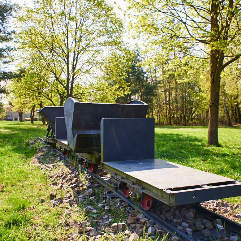
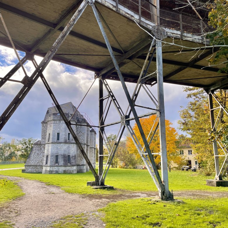
 Museum Park Rüdersdorf

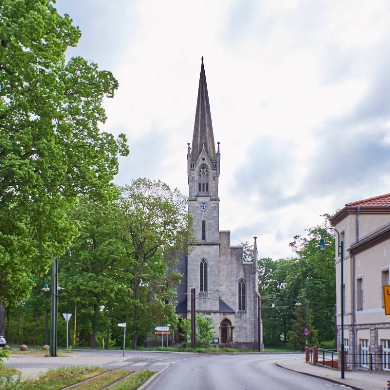
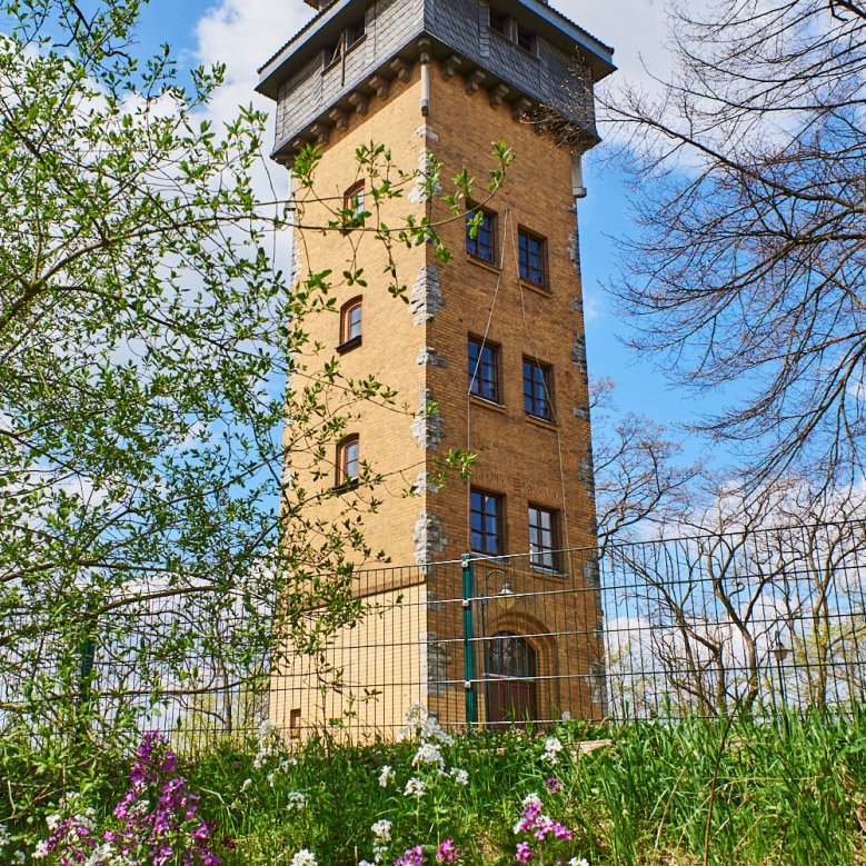
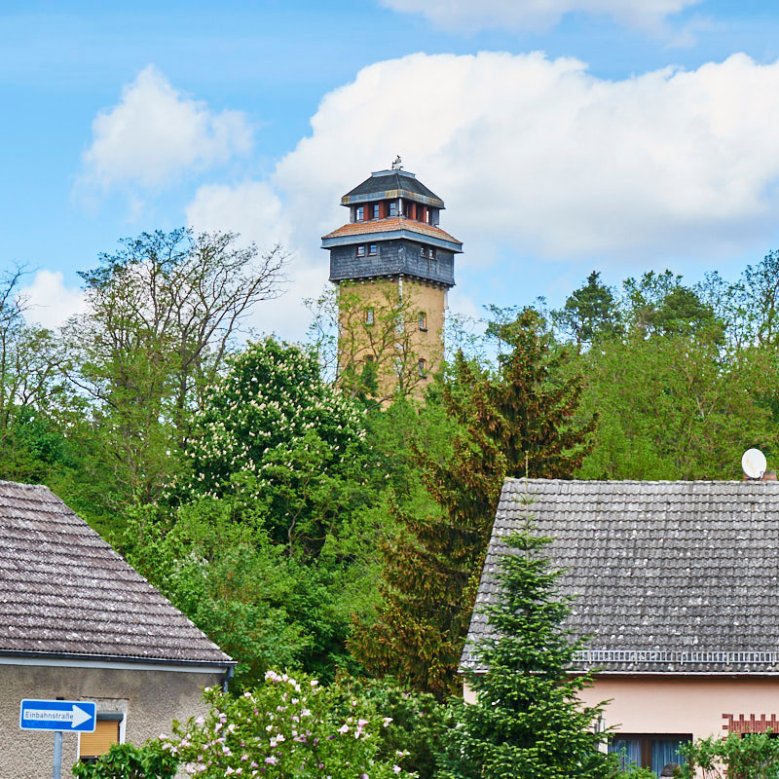
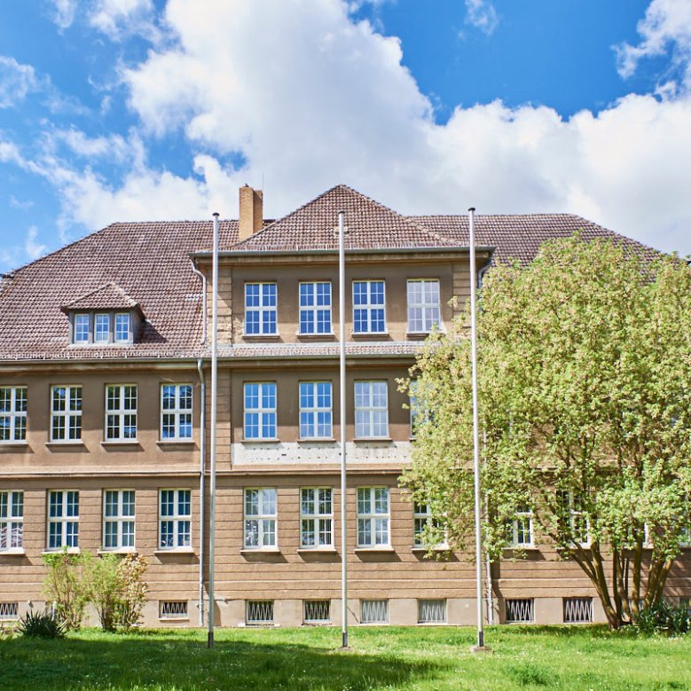
Hennickendorf is nestled between the large and small Stienitzsee lakes in the northern part of the municipality of Rüdersdorf. The village was first mentioned in a document in 1367. Through the development of clay deposits, the old agricultural village gradually became a brick-making centre. Albrecht Thaer created a navigable connection from Stienitzsee to the Spree. Industrialisation gradually took hold, resulting in an economic boom that lasted until the end of the 1930s. At the beginning of the 20th century, a cement works and a limestone factory were established. Residential buildings for workers and factory employees as well as shops and restaurants were built along Berliner Straße. The structures of the older town centre around the medieval church remained largely untouched. At the beginning of the Second World War, the brickworks and the limestone factory closed, with only the cement works continuing to operate. After the war, brick production was resumed before it was finally stopped in 1970 due to dwindling clay deposits. Between 1960 and 1980, the Albrecht Thaer residential neighbourhood was built as a complex housing development. After reunification, the 13-hectare industrial estate of the same name was developed on the site of the former poplar grove. In recent years, the district has made a name for itself as a high-quality residential location, particularly through the designation of new development areas in the detached house segment. Hennickendorf's landmark is the Wachtelturm tower on the Wachtelberg, which was built in 1938 and is now a viewing tower.


The district of Herzfelde is centrally located in the municipality. The structure of the district today is characterised by the commercial and industrial uses located here as well as the B1 federal road. Herzfelde can also look back on a long history: the first documentary mentions date back to 1279, the medieval village church was built in the 13th century and still characterises the townscape today. With the discovery of clay deposits around 1860, economic growth began and the transformation of the former village into an industrial community began. Several brickworks were established, which led to further industrial settlements in the 20th century. The bricks were transported to Berlin via the newly established Herzfelder Kleinbahn railway and by water. With the political change, several industrial companies closed and industrial estates were designated where new industries settled.
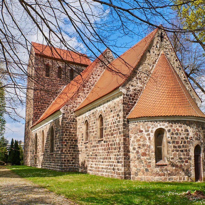

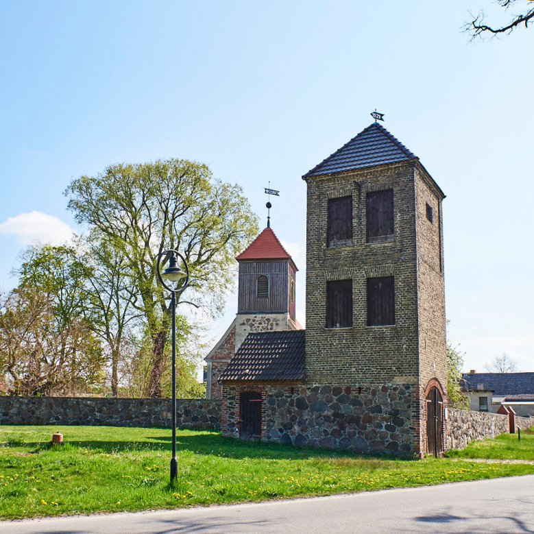
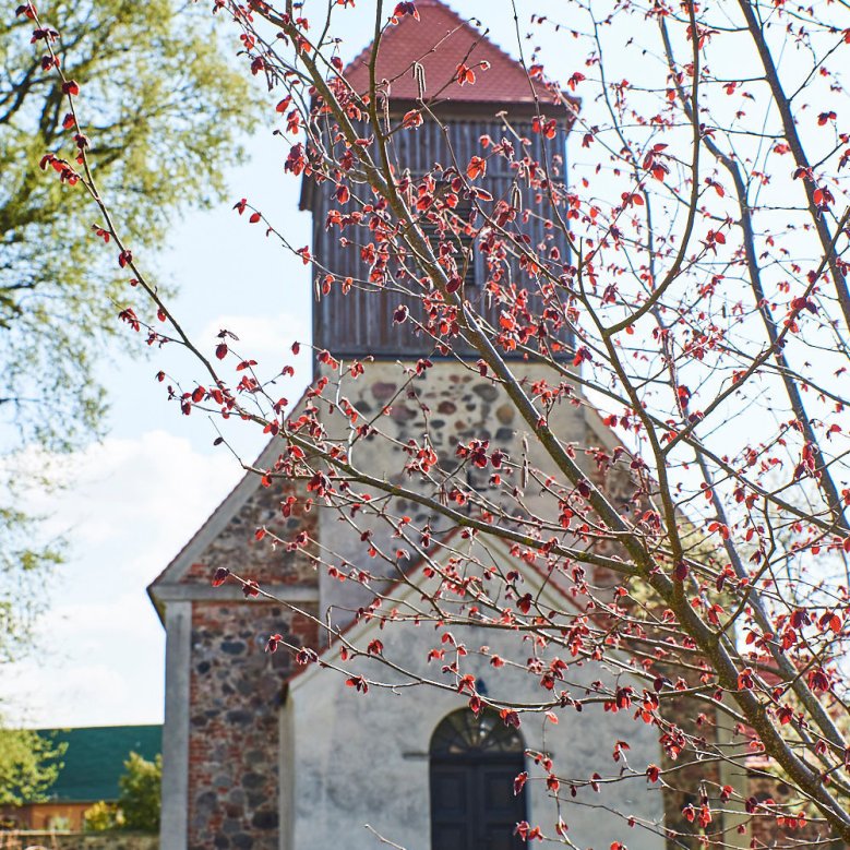
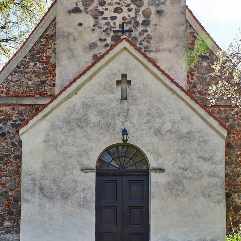
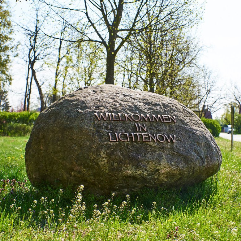
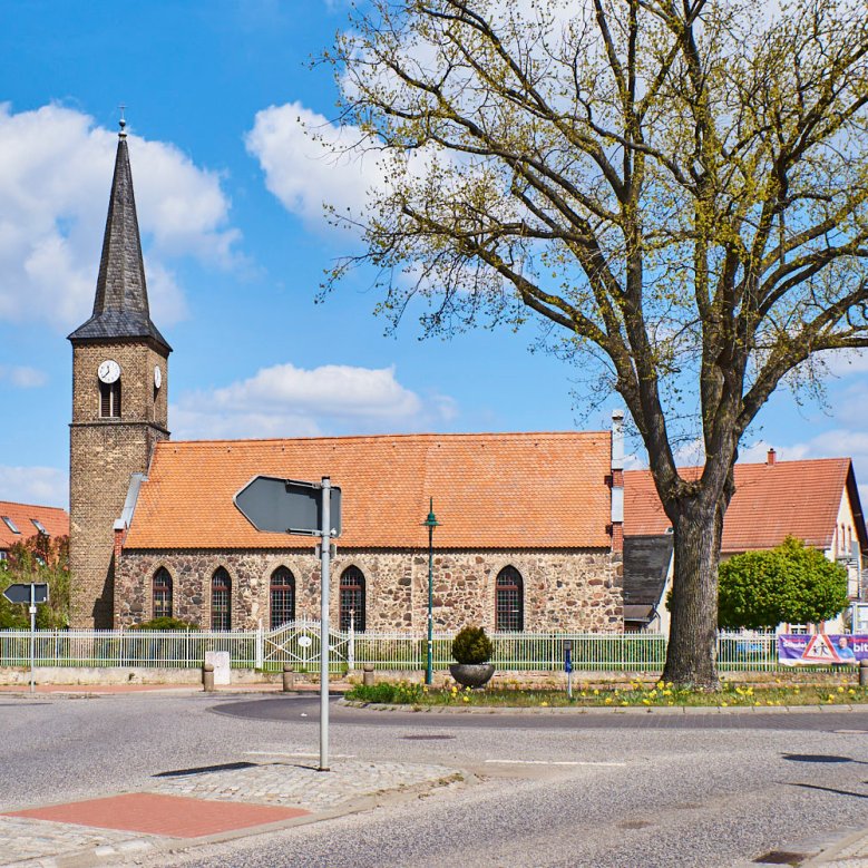
Lichtenow is located in the far east of the municipal area and is crossed by the B1 / B5 in the town centre. Lichtenow-Dorf lies to the north of the main road. Lichtenow is the smallest of the Rüdersdorf districts in terms of both area and population. Lichtenow was first mentioned in documents in the years 1320-1323 and the construction of the village church dates back to the end of the 15th century. Around 1820, clay mining began in the area around today's Badebruch. The Lichtenow brickworks (ring kiln factory) was founded between 1910 and 1912. Brick production ceased in 1941 and was resumed after the Second World War, only to cease completely in 1956. The ring kiln and chimney have been preserved and today serve as a roost for rare bats. At the beginning of the 1990s, Lichtenow had around 370 inhabitants, but today the village is becoming increasingly attractive due to new construction projects and densification, and the number of residents is growing steadily. The R1 European cycle route runs through Lichtenow.